Geolocate

Mamonit topographic map

Click on the map to display elevation.

About this map

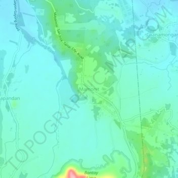
Name: Mamonit topographic map, elevation, terrain.

Location: Mamonit, Mayantoc, Tarlac, Central Luzon, 2304, Philippines (15.56789 120.37750 15.60789 120.41750)

Average elevation: 223 ft

Minimum elevation: 141 ft

Maximum elevation: 614 ft

Other topographic maps

Click on a map to view its topography, its elevation and its terrain.

Mamonit

Philippines > Tarlac > Mayantoc

Average elevation: 233 ft

Gear up for your next adventure:

❄️Traction Cleats - Prevent slips on icy trails during winter hikes
🌡️Portable Weather Meter - Track weather conditions on the trail
🎒Day Hiking Backpack - Lightweight backpack perfect for day trips and outdoor adventures
🎁Geography Themed Gifts - Unique gift ideas for map lovers and geography enthusiasts
👓Polarized Sunglasses - Outdoor sunglasses for glare reduction

As an Amazon Associate, this site earns from qualifying purchases at no extra cost to you.