
坝上村 topographic map
Interactive map
Click on the map to display elevation.
About this map
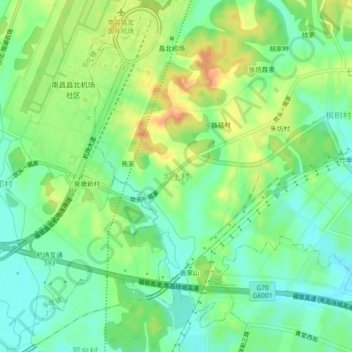
Name: 坝上村 topographic map, elevation, terrain.
Location: 坝上村, 樵舍镇, 南昌经开区, 南昌市, 江西省, 中国 (28.82301 115.89546 28.86301 115.93546)
Average elevation: 105 ft
Minimum elevation: 46 ft
Maximum elevation: 190 ft
Other topographic maps
Click on a map to view its topography, its elevation and its terrain.