
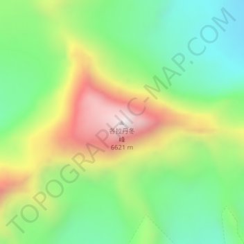
各拉丹冬峰 topographic map
Interactive map
Click on the map to display elevation.
各拉丹冬峰
各拉丹冬峰,是一座冰川雪山,青海省西南部靠近青藏两省交界,为唐古拉山脉主峰,海拔6621米。各拉丹冬峰是长江源头沱沱河的发源地。
About this map
Name: 各拉丹冬峰 topographic map, elevation, terrain.
Location: 各拉丹冬峰, 雁石坪, 格尔木市, 海西蒙古族藏族自治州, 青海省, 中国 (33.49602 91.16669 33.49612 91.16679)
Average elevation: 19,738 ft
Minimum elevation: 18,553 ft
Maximum elevation: 21,581 ft
Other topographic maps
Click on a map to view its topography, its elevation and its terrain.