Geolocate

Ciampetti topographic map

Click on the map to display elevation.

About this map

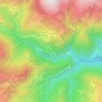
Name: Ciampetti topographic map, elevation, terrain.

Location: Ciampetti, Ostana, Cuneo, Piedmont, Italy (44.66696 7.17617 44.70696 7.21617)

Average elevation: 4,324 ft

Minimum elevation: 2,543 ft

Maximum elevation: 6,250 ft

Gear up for your next adventure:

🔦Compact Flashlight - Reliable flashlight for emergencies
👖Convertible Hiking Pants - Versatile zip-off pants for changing altitudes and temperatures
🔌USB Car Charger - Car charger for on‑the‑go power needs
🔦Powerful Headlamps - Ultra-bright hands-free lighting for night navigation
😴Insulated Sleeping Pads - Compact and warm pads for high-elevation camping

As an Amazon Associate, this site earns from qualifying purchases at no extra cost to you.