
Mateur topographic map
Interactive map
Click on the map to display elevation.
About this map
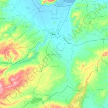
Name: Mateur topographic map, elevation, terrain.
Location: Mateur, Bizerte, Tunisie (36.85592 9.49295 37.11418 9.84687)
Average elevation: 446 ft
Minimum elevation: -20 ft
Maximum elevation: 1,988 ft
Other topographic maps
Click on a map to view its topography, its elevation and its terrain.