
Tinja topographic map
Interactive map
Click on the map to display elevation.
About this map
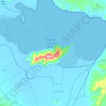
Name: Tinja topographic map, elevation, terrain.
Location: Tinja, Bizerte, Tunisie (37.07196 9.61516 37.18634 9.78798)
Average elevation: 66 ft
Minimum elevation: -23 ft
Maximum elevation: 1,627 ft
Other topographic maps
Click on a map to view its topography, its elevation and its terrain.