
Make a donation
Gear up for your next adventure:
As an Amazon Associate, this site earns from qualifying purchases at no extra cost to you.
Villa Berna topographic map
Click on the map to display elevation.
Make a donation
Gear up for your next adventure:
As an Amazon Associate, this site earns from qualifying purchases at no extra cost to you.
About this map
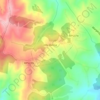
Name: Villa Berna topographic map, elevation, terrain.
Average elevation: 4,101 ft
Minimum elevation: 3,799 ft
Maximum elevation: 4,403 ft
Make a donation
Gear up for your next adventure:
As an Amazon Associate, this site earns from qualifying purchases at no extra cost to you.
Other topographic maps
Click on a map to view its topography, its elevation and its terrain.
Cerro Potrerillos o de las Antenas
Argentina > Córdoba > Pedanía Los Reartes
Average elevation: 7,625 ft
Villa Ciudad Parque
Argentina > Córdoba > Pedanía Los Reartes > Villa Ciudad Parque Los Reartes
Average elevation: 2,864 ft
Make a donation
Gear up for your next adventure:
As an Amazon Associate, this site earns from qualifying purchases at no extra cost to you.