Geolocate

Sagerton topographic map

Click on the map to display elevation.

👉 Easily get elevation data in JSON, GeoTIFF and KML formats using Elevation API
Thank you for supporting this site ❤️
Make a donation

About this map

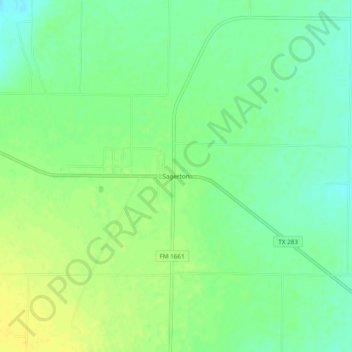
Name: Sagerton topographic map, elevation, terrain.

Location: Sagerton, Haskell County, Texas, 79548, United States (33.05705 -99.97565 33.09705 -99.93565)

Average elevation: 1,631 ft

Minimum elevation: 1,594 ft

Maximum elevation: 1,663 ft

Haskell County trails, hiking, mountain biking, running and outdoor activities

Gear up for your next adventure:

🛰️Satellite Messengers - Emergency SOS and two-way messaging for off-grid adventures
📶Vehicle Signal Boosters - Improve reception in rural areas while driving to trailheads
🪶Camping Sleeping Pad - Comfortable sleeping pad for backpacking
Backpacking Tents - Weight-optimized shelters for multi-day topographic surveys
🪶Survival Guide Book - Expert advice for emergency preparedness

As an Amazon Associate, this site earns from qualifying purchases at no extra cost to you.