
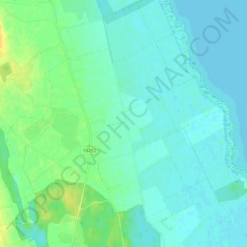
Tooste küla topographic map
Interactive map
Click on the map to display elevation.
About this map
Name: Tooste küla topographic map, elevation, terrain.
Location: Tooste küla, Räpina vald, Kreis Pölwe, 64424, Estland (58.12055 27.44087 58.15683 27.52988)
Average elevation: 115 ft
Minimum elevation: 95 ft
Maximum elevation: 167 ft
Other topographic maps
Click on a map to view its topography, its elevation and its terrain.