
Massaguet topographic map
Interactive map
Click on the map to display elevation.
About this map
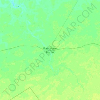
Name: Massaguet topographic map, elevation, terrain.
Location: Massaguet, Hadjer-Lamis, Tchad (12.32243 15.27963 12.64243 15.59963)
Average elevation: 958 ft
Minimum elevation: 942 ft
Maximum elevation: 971 ft
Other topographic maps
Click on a map to view its topography, its elevation and its terrain.