
Koradi topographic map
Interactive map
Click on the map to display elevation.
About this map
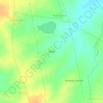
Name: Koradi topographic map, elevation, terrain.
Location: Koradi, Korpana, Chandrapur, Maharashtra, 442917, India (19.80873 79.17390 19.84873 79.21390)
Average elevation: 673 ft
Minimum elevation: 623 ft
Maximum elevation: 728 ft
Other topographic maps
Click on a map to view its topography, its elevation and its terrain.
Korpana
India > Maharashtra > Korpana
Korpana, Chandrapur, Maharashtra, India
Average elevation: 866 ft