Geolocate

Boone topographic map

Click on the map to display elevation.

About this map

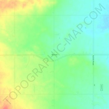
Name: Boone topographic map, elevation, terrain.

Location: Boone, Caddo County, Oklahoma, United States (34.87868 -98.48200 34.91868 -98.44200)

Average elevation: 1,398 ft

Minimum elevation: 1,325 ft

Maximum elevation: 1,509 ft

Caddo County trails, hiking, mountain biking, running and outdoor activities

Other topographic maps

Click on a map to view its topography, its elevation and its terrain.

Bridgeport

United States > Oklahoma > Caddo County

Average elevation: 1,457 ft

Carnegie

United States > Oklahoma > Caddo County

Average elevation: 1,345 ft

Gear up for your next adventure:

⛑️Personal Locator Beacon - Safety beacon for emergencies
🩳Quick‑Dry Hiking Shorts - Comfortable and quick‑dry shorts for summer hiking
🦶Carbon Trekking Poles - Reduce knee impact on steep descents with ultra-light poles
🥩Freeze-Dried Meals - Nutritious and lightweight food for remote expeditions
🧭Map Reading Tools - Tools and kits for map navigation

As an Amazon Associate, this site earns from qualifying purchases at no extra cost to you.