Geolocate

Santa Cruz topographic map

Click on the map to display elevation.

About this map

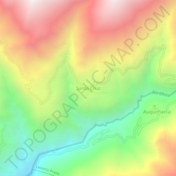
Name: Santa Cruz topographic map, elevation, terrain.

Location: Santa Cruz, Leoncio Prado, Huaura, Lima, Perú (-11.07978 -76.94969 -11.03978 -76.90969)

Average elevation: 10,951 ft

Minimum elevation: 8,399 ft

Maximum elevation: 13,766 ft

Gear up for your next adventure:

🖼️Topo Map Wall Art - Decorative topographic prints of famous peaks and regions
🛰️Handheld GPS Units - Professional satellite navigators for precise backcountry mapping
🗺️NatGeo Topo Maps - High-quality waterproof printed topographic maps of US Parks
🎒Day Hiking Backpack - Lightweight backpack perfect for day trips and outdoor adventures
🦶Carbon Trekking Poles - Reduce knee impact on steep descents with ultra-light poles

As an Amazon Associate, this site earns from qualifying purchases at no extra cost to you.