
Cobalt topographic map
Interactive map
Click on the map to display elevation.
About this map
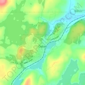
Name: Cobalt topographic map, elevation, terrain.
Location: Cobalt, Timiskaming District, Ontario, Canada (47.38775 -79.69579 47.40715 -79.66112)
Average elevation: 1,024 ft
Minimum elevation: 906 ft
Maximum elevation: 1,224 ft