
朝天门街道 topographic map
Interactive map
Click on the map to display elevation.
About this map
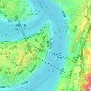
Name: 朝天门街道 topographic map, elevation, terrain.
Location: 朝天门街道, 渝中区, 重庆市, 中国 (29.55270 106.57084 29.57450 106.58858)
Average elevation: 709 ft
Minimum elevation: 492 ft
Maximum elevation: 1,352 ft
Other topographic maps
Click on a map to view its topography, its elevation and its terrain.