
石油路街道 topographic map
Interactive map
Click on the map to display elevation.
About this map
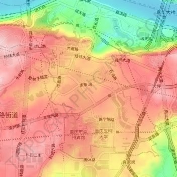
Name: 石油路街道 topographic map, elevation, terrain.
Location: 石油路街道, 渝中区, 重庆市主城都市区, 重庆市, 400016, 中国 (29.53109 106.47791 29.55471 106.51232)
Average elevation: 958 ft
Minimum elevation: 518 ft
Maximum elevation: 1,211 ft
Other topographic maps
Click on a map to view its topography, its elevation and its terrain.