
Thank you for supporting this site ❤️
Make a donation
Make a donation
Gear up for your next adventure:
As an Amazon Associate, this site earns from qualifying purchases at no extra cost to you.
Tamesna topographic map
Click on the map to display elevation.
Thank you for supporting this site ❤️
Make a donation
Make a donation
Gear up for your next adventure:
As an Amazon Associate, this site earns from qualifying purchases at no extra cost to you.
About this map
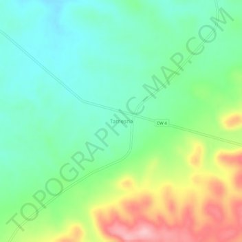
Name: Tamesna topographic map, elevation, terrain.
Location: Tamesna, El Hessasna, El Hessasna District, Saïda, Algeria (34.82703 0.43987 34.86703 0.47987)
Average elevation: 3,698 ft
Minimum elevation: 3,514 ft
Maximum elevation: 4,065 ft
Thank you for supporting this site ❤️
Make a donation
Make a donation
Gear up for your next adventure:
As an Amazon Associate, this site earns from qualifying purchases at no extra cost to you.