
Thandal topographic map
Click on the map to display elevation.
About this map
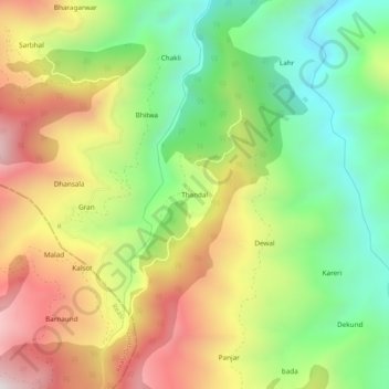
Name: Thandal topographic map, elevation, terrain.
Location: Thandal, Udhampur, Udhampur District, Jammu and Kashmir, India (33.06129 75.06988 33.10129 75.10988)
Average elevation: 4,304 ft
Minimum elevation: 2,759 ft
Maximum elevation: 6,227 ft