
仁育官庄村 topographic map
Interactive map
Click on the map to display elevation.
About this map
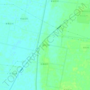
Name: 仁育官庄村 topographic map, elevation, terrain.
Location: 仁育官庄村, 德州市, 山东省, 中国 (37.05171 116.07655 37.09171 116.11655)
Average elevation: 92 ft
Minimum elevation: 75 ft
Maximum elevation: 112 ft
Other topographic maps
Click on a map to view its topography, its elevation and its terrain.