
锅培口村 topographic map
Interactive map
Click on the map to display elevation.
About this map
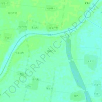
Name: 锅培口村 topographic map, elevation, terrain.
Location: 锅培口村, 德州市, 山东省, 中国 (37.07072 116.29664 37.11072 116.33664)
Average elevation: 85 ft
Minimum elevation: 69 ft
Maximum elevation: 102 ft
Other topographic maps
Click on a map to view its topography, its elevation and its terrain.