
Vav topographic map
Click on the map to display elevation.
About this map
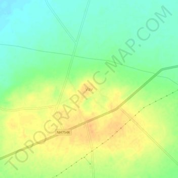
Name: Vav topographic map, elevation, terrain.
Location: Vav, Vav Taluka, Banas Kantha District, Gujarat, 385575, India (24.34395 71.49231 24.38395 71.53231)
Average elevation: 148 ft
Minimum elevation: 95 ft
Maximum elevation: 197 ft