Geolocate

Palali topographic map

Click on the map to display elevation.

About this map

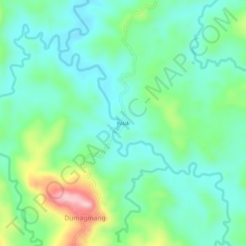
Name: Palali topographic map, elevation, terrain.

Location: Palali, Exciban, Camarines Norte, Bicol Region, Philippines (14.09425 122.62217 14.13425 122.66217)

Average elevation: 371 ft

Minimum elevation: 164 ft

Maximum elevation: 942 ft

Gear up for your next adventure:

Camping Coffee Makers - Enjoy premium coffee at the summit or campsite
📶Vehicle Signal Boosters - Improve reception in rural areas while driving to trailheads
📌Outdoor GPS Map App - Apps and devices for digital topographic navigation
🪶Trail Camera - Capture wildlife on your hikes
🪓Survival Multi‑Tool - Versatile tool for camp and trail tasks

As an Amazon Associate, this site earns from qualifying purchases at no extra cost to you.