
Okçularyeri topographic map
Interactive map
Click on the map to display elevation.
About this map
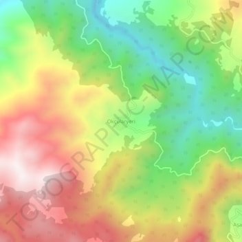
Name: Okçularyeri topographic map, elevation, terrain.
Location: Okçularyeri, Bigadiç, Balıkesir, Marmara Region, Turkey (39.35061 28.40298 39.39061 28.44298)
Average elevation: 2,822 ft
Minimum elevation: 1,457 ft
Maximum elevation: 4,334 ft
Other topographic maps
Click on a map to view its topography, its elevation and its terrain.