Geolocate

Den Helder topographic map

Click on the map to display elevation.

Den Helder

Dutch Topographic map of Den Helder (town), March 2014.

Wikipedia (CC-BY-SA 3.0)

About this map

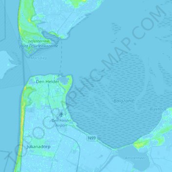
Name: Den Helder topographic map, elevation, terrain.

Location: Den Helder, North Holland, Netherlands (52.88384 4.62945 53.02198 4.92584)

Average elevation: 0 ft

Minimum elevation: -23 ft

Maximum elevation: 69 ft

Gear up for your next adventure:

🔋Rechargeable Batteries - Power up your outdoor devices
🕶️Glacier Sunglasses - Side shields to protect eyes from high-altitude snow glare
🌎3D Topographic Globes - Raised relief globes for a tactile understanding of geography
🚗GPS Dash Cams - Record your scenic drives through mountain passes and canyons
📦Dry Bags Set - Waterproof storage for electronics and clothes

As an Amazon Associate, this site earns from qualifying purchases at no extra cost to you.