
Bear Creek Lake Park topographic map
Interactive map
Click on the map to display elevation.
About this map
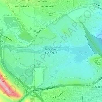
Name: Bear Creek Lake Park topographic map, elevation, terrain.
Average elevation: 5,712 ft
Minimum elevation: 5,505 ft
Maximum elevation: 6,355 ft
Jefferson County trails, hiking, mountain biking, running and outdoor activities