Geolocate

Binnaguri topographic map

Click on the map to display elevation.

About this map

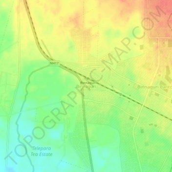
Name: Binnaguri topographic map, elevation, terrain.

Location: Binnaguri, Dhupguri, Jalpaiguri District, West Bengal, India (26.72518 89.03313 26.76518 89.07313)

Average elevation: 423 ft

Minimum elevation: 335 ft

Maximum elevation: 505 ft

Gear up for your next adventure:

🔭Compact Binoculars - HD vision for scouting terrain and identifying distant landmarks
🔥Fast-Boil Camping Stoves - Efficient cooking systems for quick trail meals
🎒Hydration Pack - Hands‑free water reservoir for long hikes
🔦Powerful Headlamps - Ultra-bright hands-free lighting for night navigation
🪶Compact Camp Shovel - Folding shovel for campsite tasks

As an Amazon Associate, this site earns from qualifying purchases at no extra cost to you.