Geolocate

Zwaag topographic map

Click on the map to display elevation.

About this map

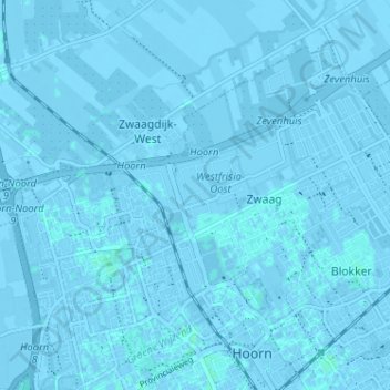
Name: Zwaag topographic map, elevation, terrain.

Location: Zwaag, Hoorn, North Holland, Netherlands (52.65378 5.03476 52.68437 5.09882)

Average elevation: -3 ft

Minimum elevation: -13 ft

Maximum elevation: 10 ft

Gear up for your next adventure:

🗺️Topographic Maps - Detailed topo maps for hiking, exploring and outdoor navigation
🧺Microfiber Travel Towels - Compact and fast-drying towels for trail use
🕶️Glacier Sunglasses - Side shields to protect eyes from high-altitude snow glare
🪶Paracord Bracelet - Survival bracelet with built‑in tools
📖Nature Tracking Books - Learn to track wildlife and terrain

As an Amazon Associate, this site earns from qualifying purchases at no extra cost to you.