
Roseau River topographic map
Interactive map
Click on the map to display elevation.
About this map
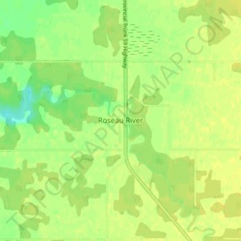
Name: Roseau River topographic map, elevation, terrain.
Location: Roseau River, Winnipeg (city), Manitoba, Canada (49.16290 -96.84738 49.20290 -96.80738)
Average elevation: 928 ft
Minimum elevation: 889 ft
Maximum elevation: 945 ft