
Tull en 't Waal topographic map
Interactive map
Click on the map to display elevation.
About this map
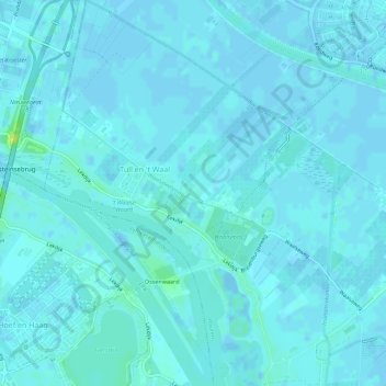
Name: Tull en 't Waal topographic map, elevation, terrain.
Location: Tull en 't Waal, Houten, Utrecht, Nederland (51.98254 5.11956 52.01669 5.16666)
Average elevation: 7 ft
Minimum elevation: -13 ft
Maximum elevation: 52 ft
Other topographic maps
Click on a map to view its topography, its elevation and its terrain.
Oud-Wulven
Oud-Wulven, Houten, Utrecht, Nederland, 3992 AA, Nederland
Average elevation: 10 ft
Schalkwijk
Schalkwijk, Houten, Utrecht, Nederland
Average elevation: 10 ft