Geolocate

Macuaco topographic map

Click on the map to display elevation.

About this map

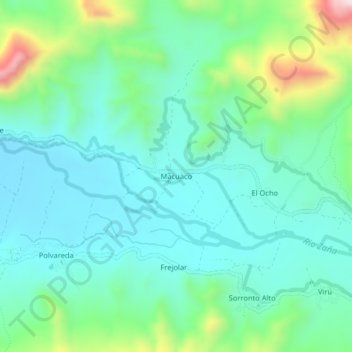
Name: Macuaco topographic map, elevation, terrain.

Location: Macuaco, Oyotún, Chiclayo, Lambayeque, Perú (-6.82264 -79.25826 -6.78264 -79.21826)

Average elevation: 1,184 ft

Minimum elevation: 817 ft

Maximum elevation: 2,359 ft

Gear up for your next adventure:

🧦Merino Wool Socks - Moisture-wicking, blister-preventing socks for long treks
🧭GPS Watch Accessories - Bands and chargers for GPS watches
🧤Tactile Hiking Gloves - Keep hands warm while operating GPS and smartphone screens
🦟Ultrasonic Repellers - Create a bug-free zone at your camp or rest stop
🪵Folding Camp Saw - Compact saw for wood and campsite work

As an Amazon Associate, this site earns from qualifying purchases at no extra cost to you.