Geolocate

Mount Sembrano topographic map

Click on the map to display elevation.

About this map

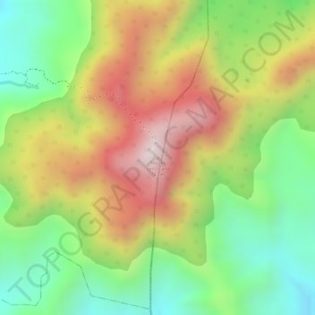
Name: Mount Sembrano topographic map, elevation, terrain.

Location: Mount Sembrano, Pililla, Rizal, Calabarzon, Philippines (14.38503 121.36585 14.38513 121.36595)

Average elevation: 1,401 ft

Minimum elevation: 518 ft

Maximum elevation: 2,356 ft

Gear up for your next adventure:

🧥Waterproof Jacket for Hiking - Breathable and rugged rain jacket for outdoor excursions
📡GPS Antenna Upgrade - Enhance GPS reception in remote terrain
🧭Map Reading Tools - Tools and kits for map navigation
🍳Camping Cook Set - Complete cookware for outdoor meals
🥇GPS Hiking Watch - Multi‑sport GPS watch with navigation and trail tracking

As an Amazon Associate, this site earns from qualifying purchases at no extra cost to you.