
Santa Rosa de Asia topographic map
Click on the map to display elevation.
About this map
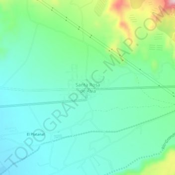
Name: Santa Rosa de Asia topographic map, elevation, terrain.
Location: Santa Rosa de Asia, Asia, Provincia de Cañete, Lima, Perú (-12.78447 -76.55130 -12.74447 -76.51130)
Average elevation: 397 ft
Minimum elevation: 154 ft
Maximum elevation: 1,125 ft