Geolocate

Egloffstein topographic map

Click on the map to display elevation.

About this map

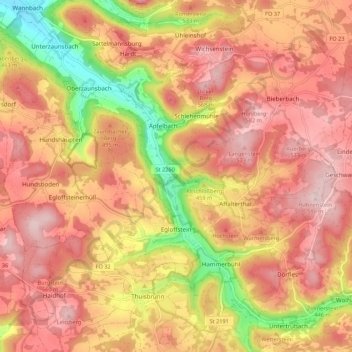
Name: Egloffstein topographic map, elevation, terrain.

Location: Egloffstein, Landkreis Forchheim, Bavaria, 91349, Germany (49.68562 11.20461 49.73997 11.31337)

Average elevation: 1,562 ft

Minimum elevation: 994 ft

Maximum elevation: 1,900 ft

Other topographic maps

Click on a map to view its topography, its elevation and its terrain.

Oberfellendorf

Germany > Bavaria > Landkreis Forchheim > Wiesenttal

Average elevation: 1,385 ft

Trainmeusel

Germany > Bavaria > Landkreis Forchheim > Wiesenttal

Average elevation: 1,421 ft

Gear up for your next adventure:

📻Weather Alert Radios - Stay informed of storm risks while off-the-grid
🎒Waterproof Dry Bags - Keep your electronics and maps dry inside your pack
🎒Trail Energy Bars - High‑calorie bars for hiking energy
🧯Emergency Survival Kit - All‑in‑one survival essentials for the backcountry
👓Polarized Sunglasses - Outdoor sunglasses for glare reduction

As an Amazon Associate, this site earns from qualifying purchases at no extra cost to you.