Geolocate

Santa Ines topographic map

Click on the map to display elevation.

About this map

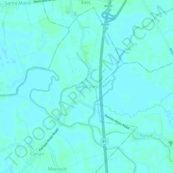
Name: Santa Ines topographic map, elevation, terrain.

Location: Santa Ines, Tarlac, Central Luzon, 2308, Philippines (15.68022 120.58788 15.72022 120.62788)

Average elevation: 56 ft

Minimum elevation: 49 ft

Maximum elevation: 66 ft

Gear up for your next adventure:

🪶Wildlife Field Guides - Learn animal tracking and species ID
🔪Outdoor Multitools - Essential survival tools for gear repair and field use
🩹Survival Bandages - High‑quality bandages for emergencies
🧯Emergency Survival Kit - All‑in‑one survival essentials for the backcountry
🪶Fire Starter Kit - Reliable fire starter for survival and camping

As an Amazon Associate, this site earns from qualifying purchases at no extra cost to you.