Geolocate

Spann topographic map

Click on the map to display elevation.

About this map

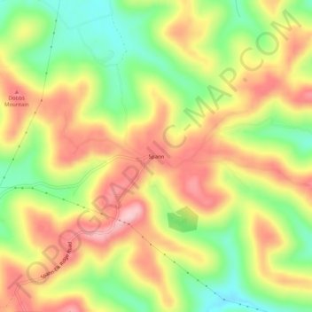
Name: Spann topographic map, elevation, terrain.

Location: Spann, Wayne County, Kentucky, United States (36.83202 -84.79050 36.87202 -84.75050)

Average elevation: 1,220 ft

Minimum elevation: 886 ft

Maximum elevation: 1,529 ft

Wayne County trails, hiking, mountain biking, running and outdoor activities

Other topographic maps

Click on a map to view its topography, its elevation and its terrain.

Monticello

United States > Kentucky > Wayne County

Average elevation: 997 ft

Monticello

United States > Kentucky > Wayne County

Average elevation: 997 ft

Gear up for your next adventure:

🔥Fast-Boil Camping Stoves - Efficient cooking systems for quick trail meals
🧭Hiking Compass - Precision compass for reliable navigation in the wilderness
😴Insulated Sleeping Pads - Compact and warm pads for high-elevation camping
🛡️Insect Repellent - Protection against bugs during outdoor activities
🛰️Satellite Messengers - Emergency SOS and two-way messaging for off-grid adventures

As an Amazon Associate, this site earns from qualifying purchases at no extra cost to you.