
Lunotan topographic map
Interactive map
Click on the map to display elevation.
About this map
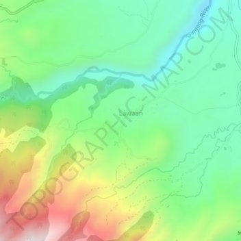
Name: Lunotan topographic map, elevation, terrain.
Location: Lunotan, Misamis Oriental, Northern Mindanao, Philippines (8.69771 125.07658 8.73771 125.11658)
Average elevation: 1,686 ft
Minimum elevation: 771 ft
Maximum elevation: 3,383 ft