
Make a donation
Gear up for your next adventure:
As an Amazon Associate, this site earns from qualifying purchases at no extra cost to you.
Lone Tree topographic map
Click on the map to display elevation.
Make a donation
Gear up for your next adventure:
As an Amazon Associate, this site earns from qualifying purchases at no extra cost to you.
About this map
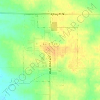
Name: Lone Tree topographic map, elevation, terrain.
Location: Lone Tree, Johnson County, Iowa, United States (41.47672 -91.44026 41.49601 -91.41583)
Average elevation: 705 ft
Minimum elevation: 650 ft
Maximum elevation: 745 ft
Johnson County trails, hiking, mountain biking, running and outdoor activities
Make a donation
Gear up for your next adventure:
As an Amazon Associate, this site earns from qualifying purchases at no extra cost to you.
Other topographic maps
Click on a map to view its topography, its elevation and its terrain.
Iowa City
United States > Iowa > Johnson County > Iowa City
The elevation at the Iowa City Municipal Airport is 668 ft (203.6 m) above sea level.
Average elevation: 738 ft