Geolocate

Lerdo de Tejada topographic map

Click on the map to display elevation.

About this map

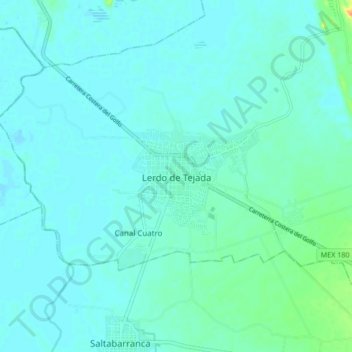
Name: Lerdo de Tejada topographic map, elevation, terrain.

Location: Lerdo de Tejada, Veracruz, Mexico (18.58825 -95.55862 18.66825 -95.47862)

Average elevation: 20 ft

Minimum elevation: -7 ft

Maximum elevation: 121 ft

Gear up for your next adventure:

🪑Portable Camp Table - Compact table for campsite meals
🧭Compass with Lanyard - Easy‑carry compass for navigation
GPS Sports Watch - GPS watch for running, hiking and training
🎒Hydration Pack - Hands‑free water reservoir for long hikes
🧭Outdoor Navigation Book - Learn advanced navigation skills

As an Amazon Associate, this site earns from qualifying purchases at no extra cost to you.