
Tabernacle topographic map
Click on the map to display elevation.
About this map
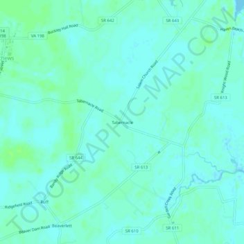
Name: Tabernacle topographic map, elevation, terrain.
Location: Tabernacle, Mathews County, Virginia, 23109, United States (37.40319 -76.31633 37.44319 -76.27633)
Average elevation: 13 ft
Minimum elevation: -3 ft
Maximum elevation: 33 ft
Mathews County trails, hiking, mountain biking, running and outdoor activities
Other topographic maps
Click on a map to view its topography, its elevation and its terrain.