Geolocate

Mount Olive topographic map

Click on the map to display elevation.

About this map

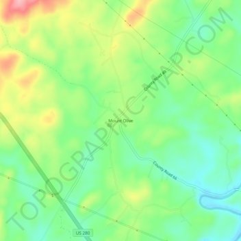
Name: Mount Olive topographic map, elevation, terrain.

Location: Mount Olive, Coosa County, Alabama, 35082, United States (33.04956 -86.15497 33.08956 -86.11497)

Average elevation: 810 ft

Minimum elevation: 643 ft

Maximum elevation: 1,079 ft

Coosa County trails, hiking, mountain biking, running and outdoor activities

Other topographic maps

Click on a map to view its topography, its elevation and its terrain.

Goodwater

United States > Alabama > Coosa County

Average elevation: 823 ft

Kellyton

United States > Alabama > Coosa County

Average elevation: 738 ft

Rockford

United States > Alabama > Coosa County

Average elevation: 725 ft

Gear up for your next adventure:

🪶Compact Camp Shovel - Folding shovel for campsite tasks
🏥Hiking First Aid Kits - Comprehensive medical kits for remote trail injuries
🛶Inflatable Kayak - Portable kayak for rivers, lakes, and expeditions
🗺️NatGeo Topo Maps - High-quality waterproof printed topographic maps of US Parks
🦟Ultrasonic Repellers - Create a bug-free zone at your camp or rest stop

As an Amazon Associate, this site earns from qualifying purchases at no extra cost to you.