
太华山 topographic map
Interactive map
Click on the map to display elevation.
About this map
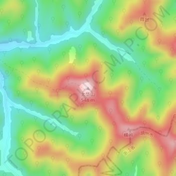
Name: 太华山 topographic map, elevation, terrain.
Location: 太华山, 无锡市, 江苏省, 214000, 中国 (31.16258 119.63804 31.16268 119.63814)
Average elevation: 971 ft
Minimum elevation: 413 ft
Maximum elevation: 1,713 ft
Other topographic maps
Click on a map to view its topography, its elevation and its terrain.