
西渚镇 topographic map
Interactive map
Click on the map to display elevation.
About this map
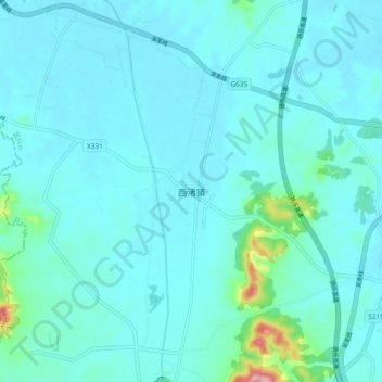
Name: 西渚镇 topographic map, elevation, terrain.
Location: 西渚镇, 无锡市, 江苏省, 214000, 中国 (31.24579 119.53289 31.32579 119.61289)
Average elevation: 75 ft
Minimum elevation: 7 ft
Maximum elevation: 653 ft
Other topographic maps
Click on a map to view its topography, its elevation and its terrain.