Geolocate

Hallam Moors topographic map

Click on the map to display elevation.

About this map

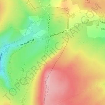
Name: Hallam Moors topographic map, elevation, terrain.

Location: Hallam Moors, Hathersage, Derbyshire Dales, Derbyshire, England, S6 6GL, United Kingdom (53.37173 -1.67023 53.39173 -1.65023)

Average elevation: 1,207 ft

Minimum elevation: 896 ft

Maximum elevation: 1,483 ft

Other topographic maps

Click on a map to view its topography, its elevation and its terrain.

Gear up for your next adventure:

🕶️Glacier Sunglasses - Side shields to protect eyes from high-altitude snow glare
🚗GPS Dash Cams - Record your scenic drives through mountain passes and canyons
GPS Sports Watch - GPS watch for running, hiking and training
Backpacking Tents - Weight-optimized shelters for multi-day topographic surveys
📡GPS Antenna Upgrade - Enhance GPS reception in remote terrain

As an Amazon Associate, this site earns from qualifying purchases at no extra cost to you.