Geolocate

Sungai Rasau topographic map

Click on the map to display elevation.

About this map

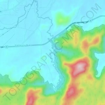
Name: Sungai Rasau topographic map, elevation, terrain.

Location: Sungai Rasau, Kampung Bukit, Pasir Puteh, Kelantan, Malaysia (5.73463 102.36410 5.78557 102.37710)

Average elevation: 322 ft

Minimum elevation: 43 ft

Maximum elevation: 1,220 ft

Gear up for your next adventure:

🥇GPS Hiking Watch - Multi‑sport GPS watch with navigation and trail tracking
📦Gear Storage Bags - Organize and protect outdoor equipment
🔥Camping Stove - Portable stove for camping and backcountry cooking
🧭Pro Hiking Compasses - High-accuracy liquid-filled compasses for topographic orientation
🛶Inflatable Kayak - Portable kayak for rivers, lakes, and expeditions

As an Amazon Associate, this site earns from qualifying purchases at no extra cost to you.