
Thank you for supporting this site ❤️
Make a donation
Make a donation
Gear up for your next adventure:
As an Amazon Associate, this site earns from qualifying purchases at no extra cost to you.
Bacivèr topographic map
Click on the map to display elevation.
Thank you for supporting this site ❤️
Make a donation
Make a donation
Gear up for your next adventure:
As an Amazon Associate, this site earns from qualifying purchases at no extra cost to you.
About this map
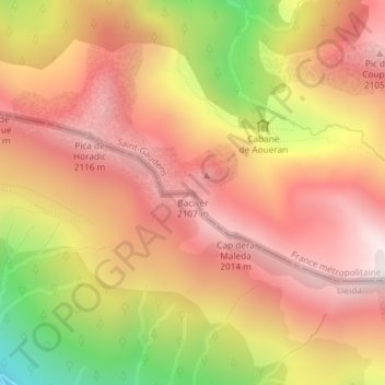
Name: Bacivèr topographic map, elevation, terrain.
Location: Bacivèr, Caneján, Valle de Arán, Cataluña, 25548, España (42.83463 0.82057 42.83473 0.82067)
Average elevation: 5,751 ft
Minimum elevation: 3,317 ft
Maximum elevation: 7,221 ft
Thank you for supporting this site ❤️
Make a donation
Make a donation
Gear up for your next adventure:
As an Amazon Associate, this site earns from qualifying purchases at no extra cost to you.