Geolocate

Lindeth topographic map

Click on the map to display elevation.

About this map

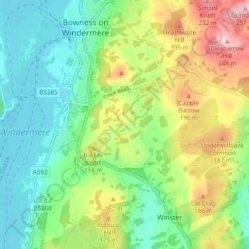
Name: Lindeth topographic map, elevation, terrain.

Location: Lindeth, Windermere, Bowness-on-Windermere, Westmorland and Furness, England, LA23 3NH, United Kingdom (54.32909 -2.92866 54.36909 -2.88866)

Average elevation: 364 ft

Minimum elevation: 121 ft

Maximum elevation: 807 ft

Other topographic maps

Click on a map to view its topography, its elevation and its terrain.

Gear up for your next adventure:

🔪Outdoor Multitools - Essential survival tools for gear repair and field use
🔋Rechargeable Batteries - Power up your outdoor devices
🖼️Topo Map Wall Art - Decorative topographic prints of famous peaks and regions
🛏️Cold Weather Sleeping Bag - Warm sleeping bag for cold conditions
🥾Men's Hiking Boots - Durable, waterproof footwear for rugged terrain and steep inclines

As an Amazon Associate, this site earns from qualifying purchases at no extra cost to you.