
Timbío topographic map
Interactive map
Click on the map to display elevation.
About this map
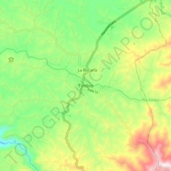
Name: Timbío topographic map, elevation, terrain.
Location: Timbío, Cauca, Colombia (2.31289 -76.72389 2.39289 -76.64389)
Average elevation: 5,997 ft
Minimum elevation: 5,187 ft
Maximum elevation: 7,257 ft
Other topographic maps
Click on a map to view its topography, its elevation and its terrain.