
Thames River topographic map
Click on the map to display elevation.
About this map
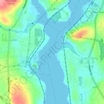
Name: Thames River topographic map, elevation, terrain.
Average elevation: 171 ft
Minimum elevation: -10 ft
Maximum elevation: 620 ft
Other topographic maps
Click on a map to view its topography, its elevation and its terrain.
Allyn Point
United States > Connecticut > Southeastern Connecticut Planning Region > Ledyard > Gales Ferry
Average elevation: 112 ft
Avery Hill
United States > Connecticut > Southeastern Connecticut Planning Region > Ledyard
Average elevation: 171 ft