Geolocate

Singheswar topographic map

Click on the map to display elevation.

About this map

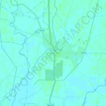
Name: Singheswar topographic map, elevation, terrain.

Location: Singheswar, Singheshwar, Madhepura, Bihar, 852128, India (25.96318 86.77397 26.00318 86.81397)

Average elevation: 154 ft

Minimum elevation: 144 ft

Maximum elevation: 164 ft

Gear up for your next adventure:

🔥Fast-Boil Camping Stoves - Efficient cooking systems for quick trail meals
🧣Hiking Neck Gaiter - Multi‑use neck protection for outdoor weather
🪶Fire Starter Kit - Reliable fire starter for survival and camping
🔭Telescopic Hiking Pole - Adjustable pole for hiking stability
🧦Hiking Socks - Comfortable socks to prevent blisters on long hikes

As an Amazon Associate, this site earns from qualifying purchases at no extra cost to you.