
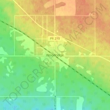
Woodridge topographic map
Interactive map
Click on the map to display elevation.
About this map
Name: Woodridge topographic map, elevation, terrain.
Location: Woodridge, Manitoba, R0A 2N0, Canada (49.26216 -96.16842 49.30216 -96.12842)
Average elevation: 1,227 ft
Minimum elevation: 1,161 ft
Maximum elevation: 1,286 ft